Digital Microplanning
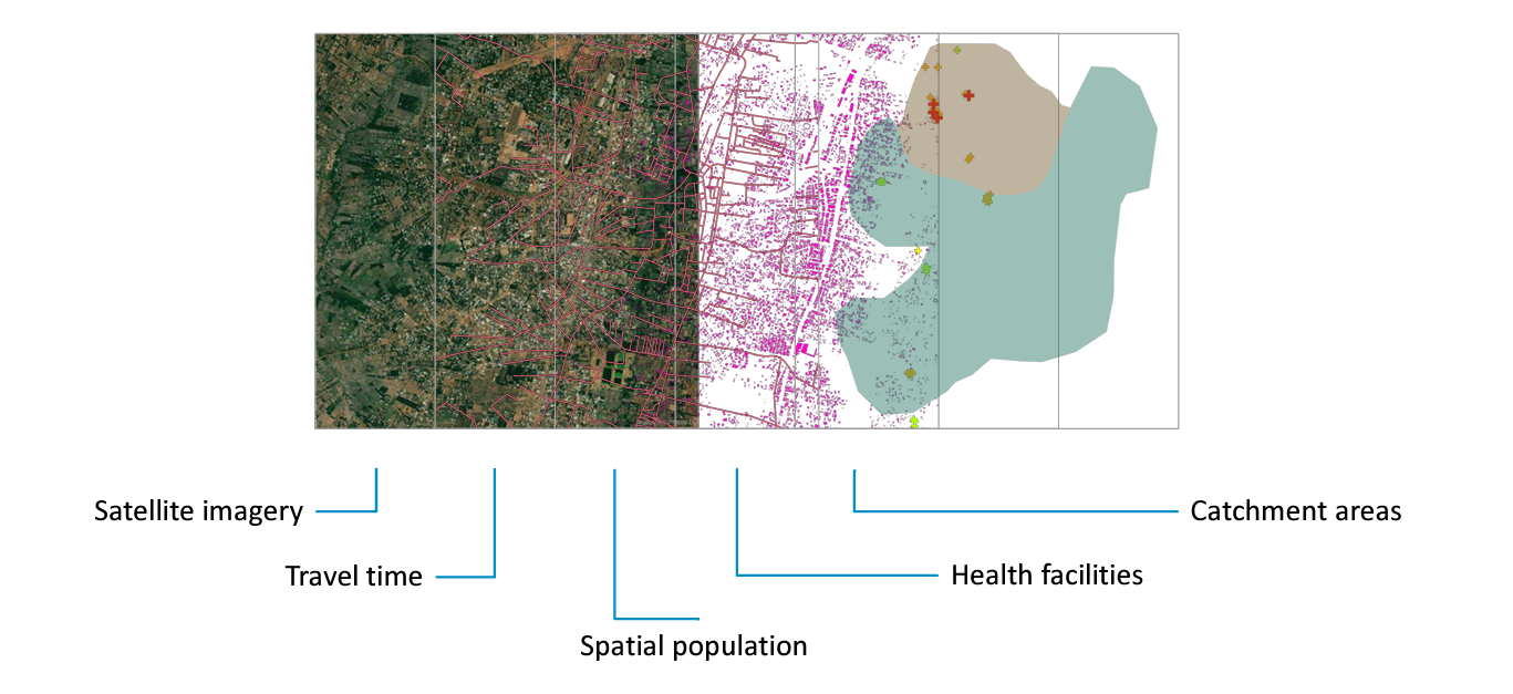
Digital microplanning, otherwise known as geo-enabled microplanning, is the use of remote sensing data and other GIS techniques to support the planning and monitoring of service delivery at the local level of health facility and health district. Building on population models developed from satellite imagery, health infrastructure data, and other geographic characteristics, digital microplans can ensure that all populations are accounted for, gaps are identified and there is equitable access to care, and the planning and outreach activities are optimized. Once the spatial distribution of people are mapped, geographic accessibility models can be produced that inform critical service delivery (e.g. insecticide treated nets or vaccines) and route optimization. The following is a visual of the geospatial data components of a digital microplan.
