Population Estimation, Modelling, and Migration
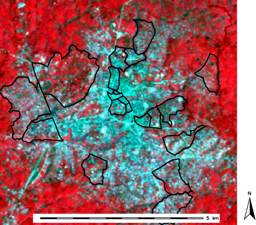
Understanding the size and distribution of people across cities, countries, and continents is critical to understanding and responding to many social, political, economic and environmental problems.1 A census, which is a manual count of population, are the primary sources for this population data around the world. The census process, which can be time and resource intensive, can be supplemented or replaced all together by using a remote sensing approach. With imagery at a high enough resolution, building instances can be counted by humans or machine models, and population can be accurately estimated and modelled. Newer studies even demonstrate the ability to accurately estimate population from medium resolution Landsat imagery. A research study conducted in Bo, Sierra Leone, set out to estimate the population of 20 neighborhoods using Landsat multi-band satellite imagery and was able to do so with an error of less than 1%.2
Grid3 is a fantastic resource for population datasets that have already been derived and processed from satellite imagery, and they include things such as settlement and infrastructure mapping data, and boundary delineation data. Satellite imagery can also be used to map the migration of populations. Many of the applications already spoken to such as mapping informal settlements and communities like refugee camps can be a clear indicator of where people are moving too and they can be monitored for growth. By monitoring disasters, measuring depletion of water resources and poor water quality, or diminishing agricultural return and land use change, we can make informed assumptions about regions that people are fleeing from.
1) https://www.tandfonline.com/doi/abs/10.1080/01431161.2010.496809?journalCode=tres20
2) https://ij-healthgeographics.biomedcentral.com/articles/10.1186/s12942-019-0180-1